
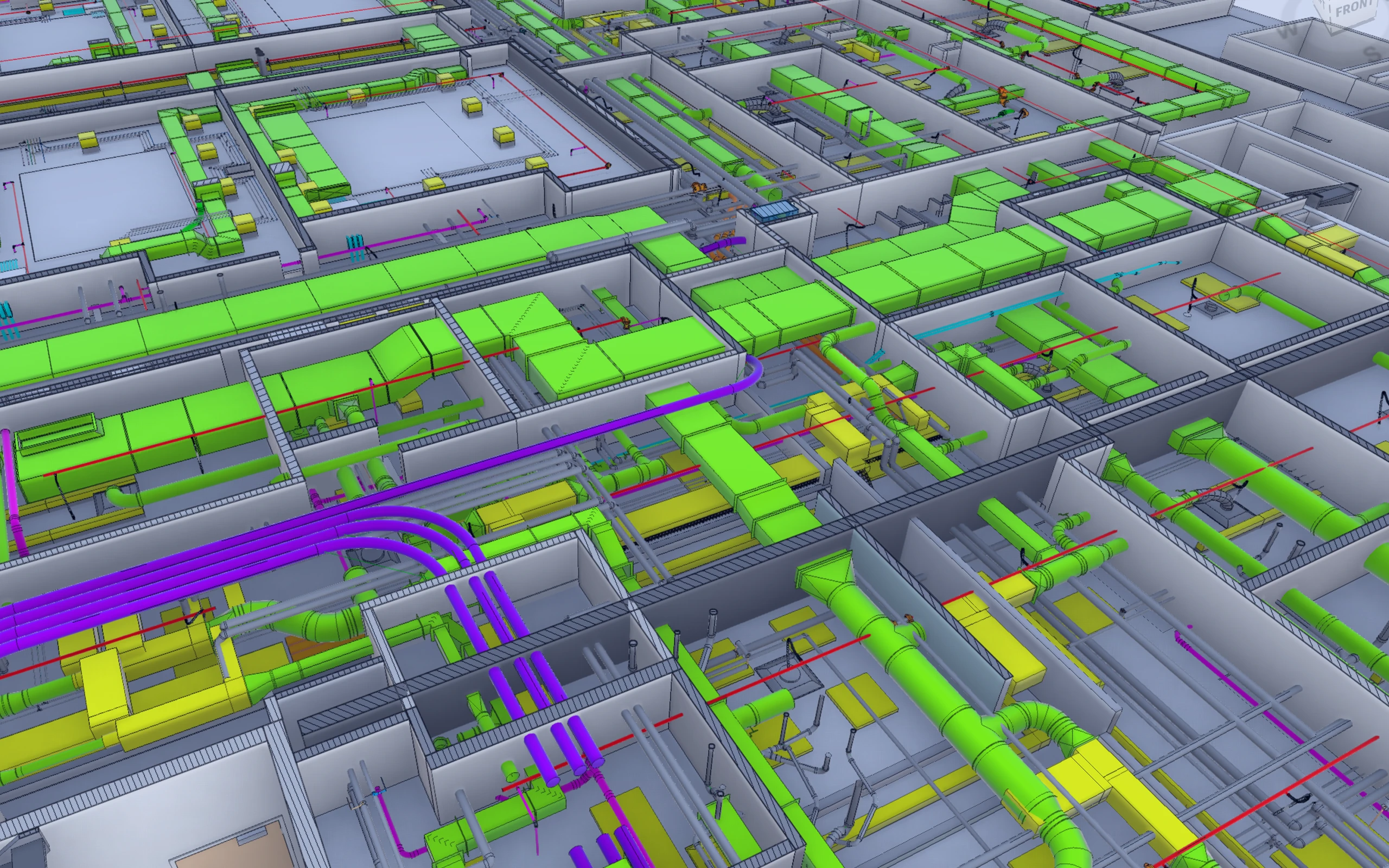
JAYNES BUILDING INFORMATION MODELING


OUR TOOLS
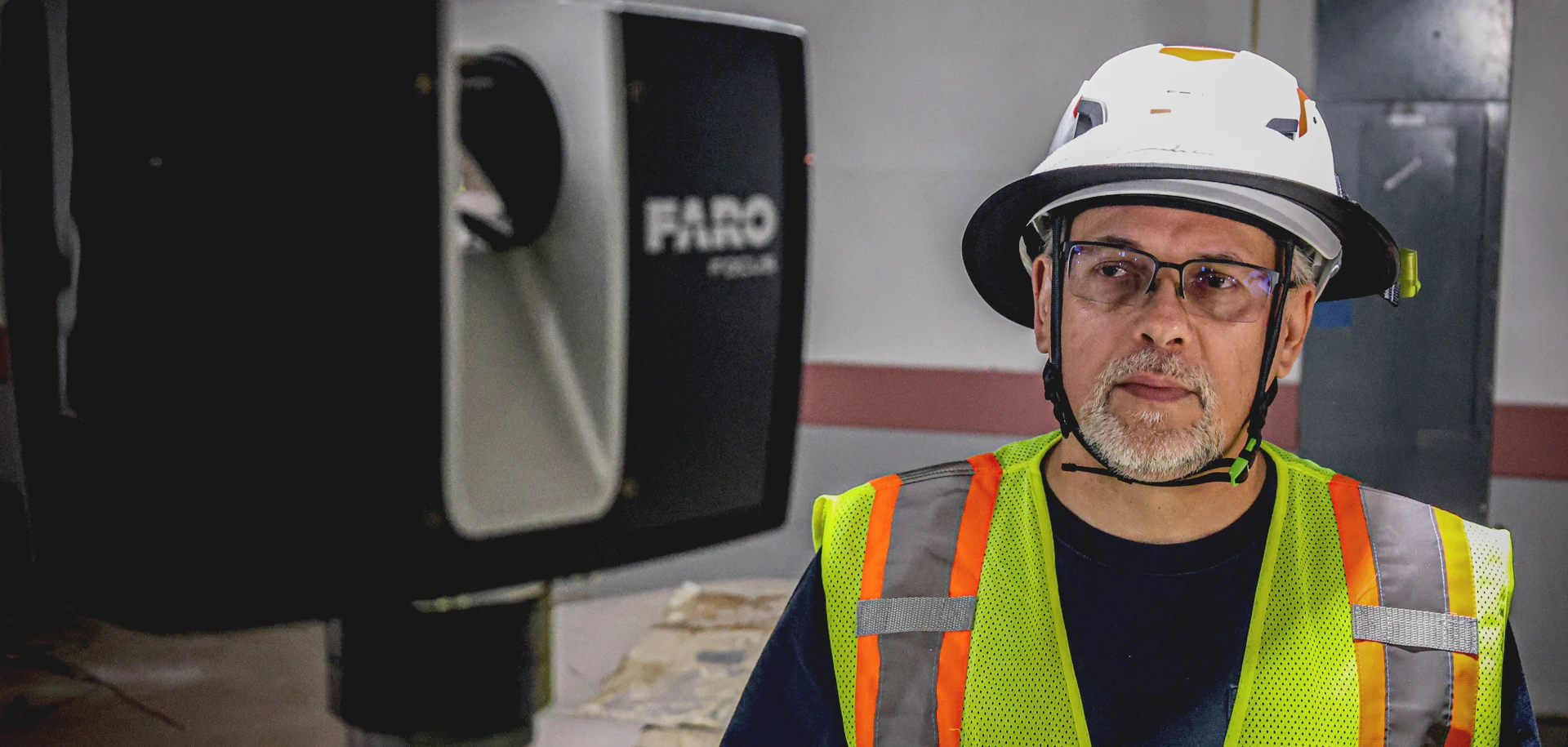
Our terrestrial laser scanners measure the flatness and levelness of surfaces to ensure they meet the required specifications by creating an ASTM E1155 report.
Using augmented reality, installed building components are overlaid with a coordinated model to compare and verify whether installed systems are within required tolerances.
Record site conditions quickly and easily using our drone technology to capture data. Data can then be shared with all stakeholders, used to calculate cut/fill requirements, or converted into a usable model for your design team.
OUR IN-HOUSE
BIM TEAM CAN HELP
AT EVERY STAGE
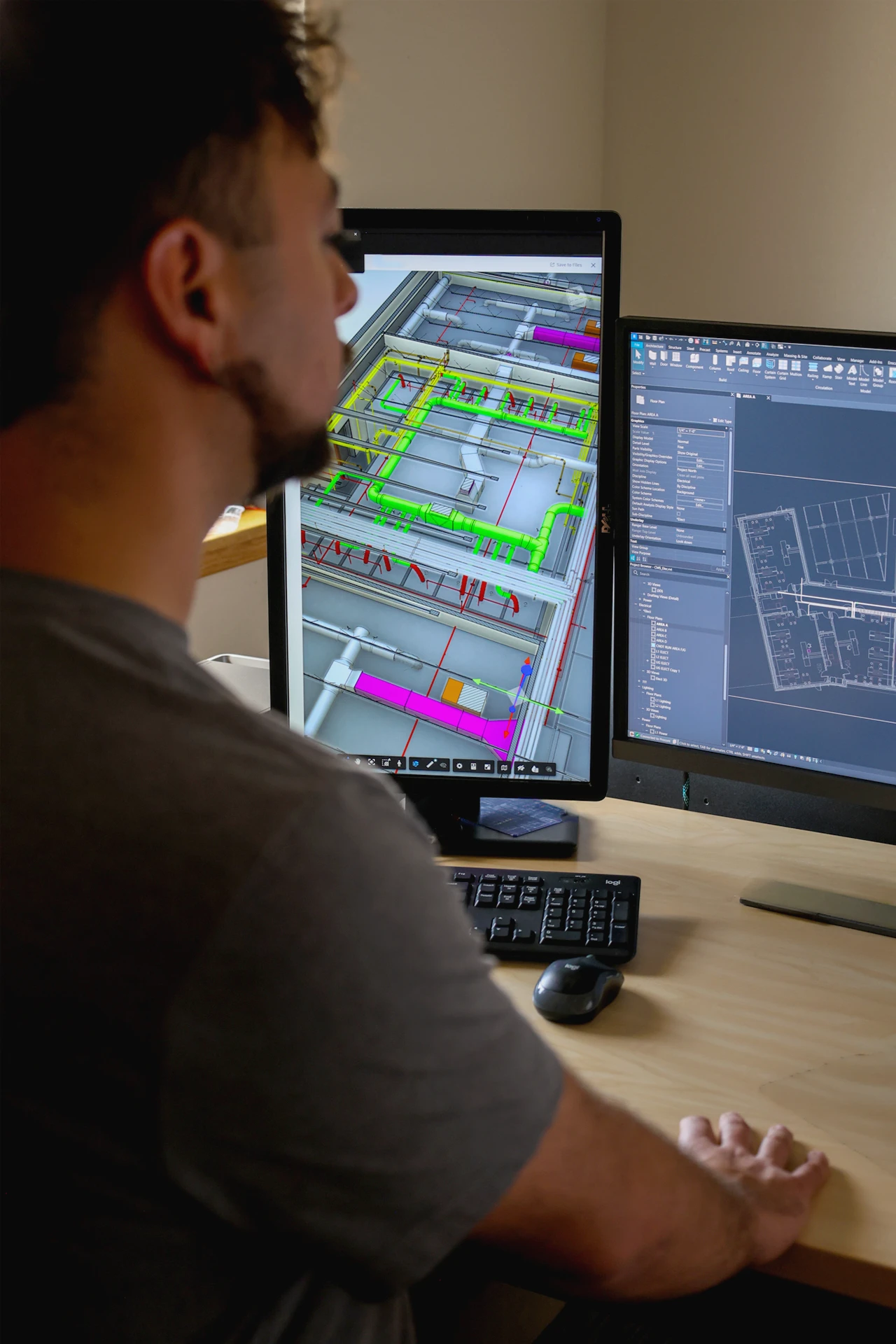
Even before a project gets underway, we can use BIM to help stakeholders better envision how the building will look and function upon completion. Our process lets us bridge the gap between theoretical design and practical application.
Data from architects and engineers can be collected, organized, and verified against the reality of the site. Clash detection allows us to virtually review the spatial relationships of all building systems before any fabrication or installation occurs to check for interference, reducing the number of RFIs and change orders.
On-site BIM experts can scan and analyze in-progress construction to validate it against the design plans and ensure all components align with the big picture. Jaynes can also create videos highlighting the various stages of your construction, from groundwork to completion.
Durango, CO 81301
Las Cruces, NM 88001